Types of Weather Radar

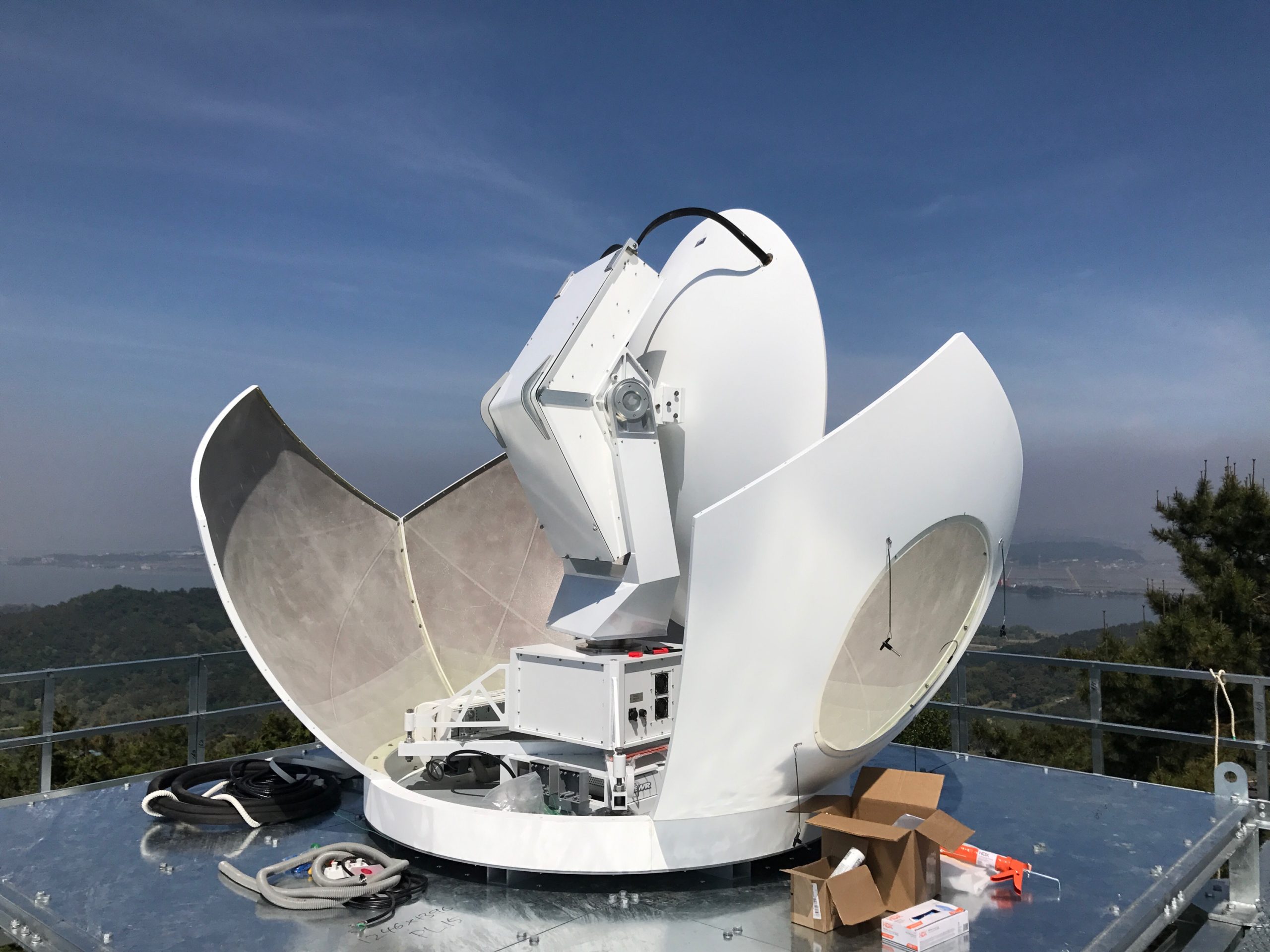
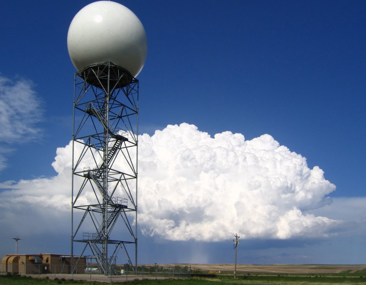
Weather radar systems utilize electromagnetic waves to detect precipitation, determine its motion, and estimate its intensity. These systems are primarily categorized into three main types: Doppler radar, phased array radar, and dual-polarization radar, each offering unique advantages and limitations.
Doppler Radar
Doppler radar measures the velocity of precipitation particles by analyzing the frequency shift of the reflected radar waves. This enables the determination of wind speed and direction, aiding in the prediction of storm movements and intensities. However, Doppler radar can be susceptible to ground clutter and may struggle to distinguish between different types of precipitation.
Phased Array Radar
Phased array radar utilizes multiple antennas arranged in a specific pattern to electronically steer the radar beam, allowing for rapid scanning and high-resolution imaging. This type of radar excels in detecting small-scale weather features, such as tornadoes and wind shear, but can be more expensive to implement compared to conventional radar systems.
Dual-Polarization Radar
Dual-polarization radar transmits and receives radar waves with both horizontal and vertical polarization, providing additional information about the shape and size of precipitation particles. This enables the differentiation between rain, snow, hail, and other types of precipitation, enhancing the accuracy of weather forecasts and severe weather warnings. However, dual-polarization radar requires more complex signal processing and can be more susceptible to interference.
Applications of Weather Radar
Weather radar is an indispensable tool for meteorologists and weather enthusiasts alike. Its versatility extends far beyond simply detecting precipitation; it plays a pivotal role in various applications, including forecasting, tracking, and monitoring weather patterns.
One of the most critical applications of weather radar is precipitation forecasting. By analyzing the intensity and movement of precipitation, meteorologists can issue timely warnings for heavy rainfall, hail, and snowstorms. This information is crucial for public safety, allowing individuals to take necessary precautions and avoid potential hazards.
Tracking Storms, Weather radar
Weather radar is also invaluable for tracking the movement and development of storms, such as hurricanes, tornadoes, and thunderstorms. By monitoring the radar data, meteorologists can determine the storm’s path, intensity, and potential impact areas. This information is disseminated to the public through weather bulletins, enabling them to stay informed and make informed decisions regarding their safety.
Monitoring Wind Patterns
In addition to precipitation and storm tracking, weather radar can also be used to monitor wind patterns. By detecting the movement of air masses, meteorologists can identify areas of strong winds, wind shear, and turbulence. This information is particularly important for aviation, as it helps pilots avoid hazardous weather conditions that could affect aircraft safety.
Interpretation of Weather Radar Data

Weather radar data provides valuable information about the type, intensity, and location of precipitation. Interpreting this data requires an understanding of color coding and reflectivity values.
Color coding is used to indicate the intensity of precipitation, with shades of green, yellow, orange, and red representing increasing intensity. Reflectivity values, measured in dBZ, provide a quantitative measure of the strength of the radar signal reflected back by precipitation particles. Higher reflectivity values indicate more intense precipitation.
Identifying Precipitation Types
- Rain: Rain typically appears as green or yellow on radar displays, with reflectivity values ranging from 10 to 40 dBZ.
- Snow: Snow often appears as blue or white on radar displays, with reflectivity values below 10 dBZ. Snowflakes have a lower density than raindrops, so they reflect less energy back to the radar.
- Hail: Hail appears as red or magenta on radar displays, with reflectivity values exceeding 50 dBZ. Hailstones are larger and denser than raindrops, so they reflect more energy back to the radar.
In the intricate symphony of nature, weather radar stands as a vigilant sentinel, its beams slicing through the atmosphere, unraveling the secrets of impending storms. As the skies darken and winds howl, the radar’s piercing gaze detects the telltale signs of a tornado warning.
Its warning siren echoes through the night, a clarion call for vigilance, as the radar continues its relentless vigil, tracking the storm’s path, a beacon of safety amidst the tempest.
Weather radar systems, the watchful eyes of our skies, paint intricate maps of precipitation, revealing hidden patterns that guide our understanding of atmospheric phenomena. In the heartland of America, where the Mississippi River meanders through verdant landscapes, the skies of Mount Vernon, Indiana echo with the silent hum of weather radar technology.
These sentinels stand guard, monitoring the ebb and flow of storms, safeguarding communities and ensuring the harmonious balance of our natural world.